46km out of 1802km so far
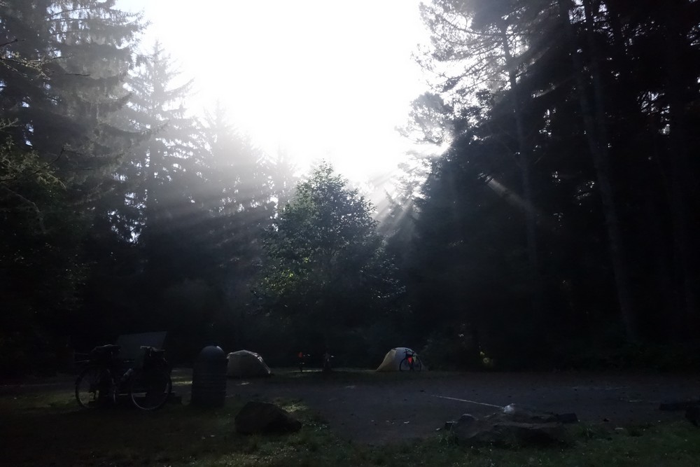
Good morning campsite
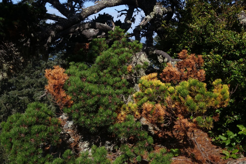
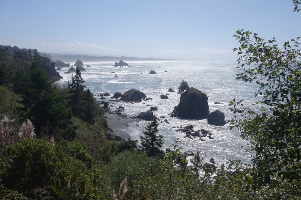
We woke up, had breakfast and packed our stuff. We spend an extra hour at the campsite to explore the area and look for nice viewpoints. At around 11am we headed off south, to the near by town of Trinidad for a second breakfast. The route went via the woods for a bit and then back to the coast with the typical rock formations. The spectacular scenery made us stop on every other turn to take photos and admire the view.
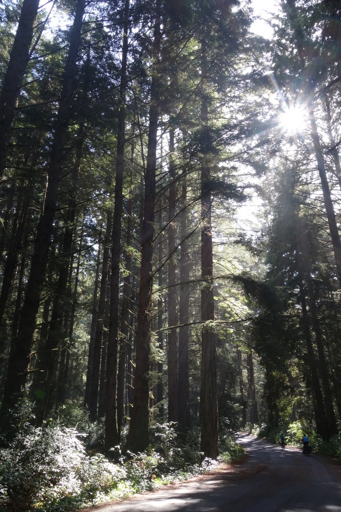
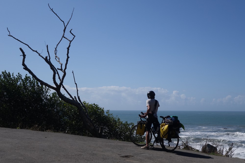
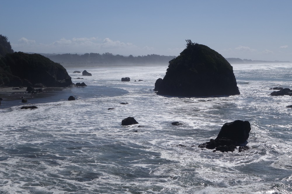
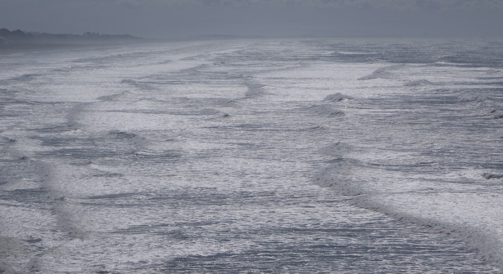
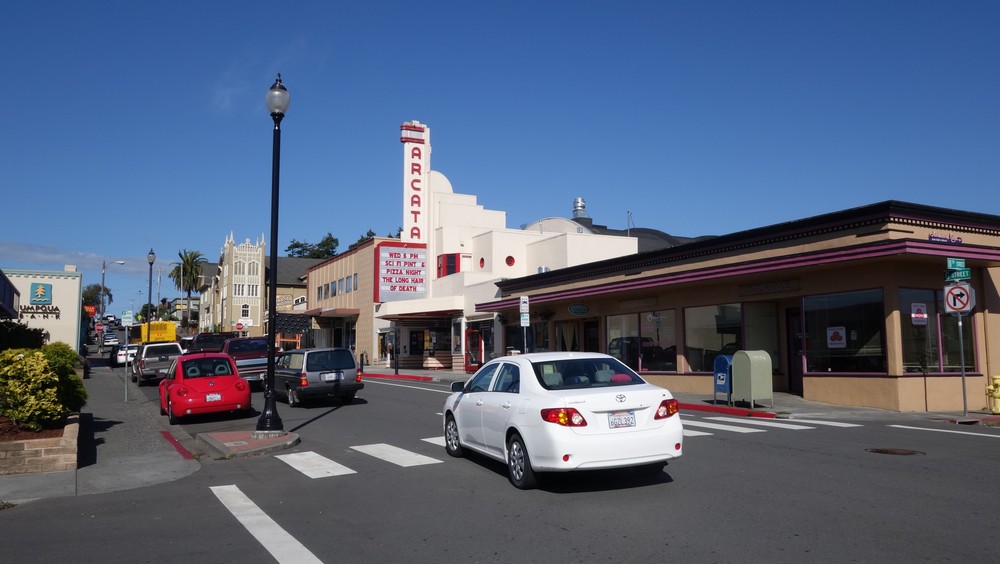
Somehow all of us felt a little lazy with such a nice weather and we knew we wouldn’t go that far today. People were talking about Arcata, the next town on our way. Some of the cyclists had friends to spend the night with, so we all decided to spend the night there. We barely rode on 101 today, as around the area there are many smaller scenic roads, but also bike trails that kept us away from the heavy traffic and let us enjoy our ride.
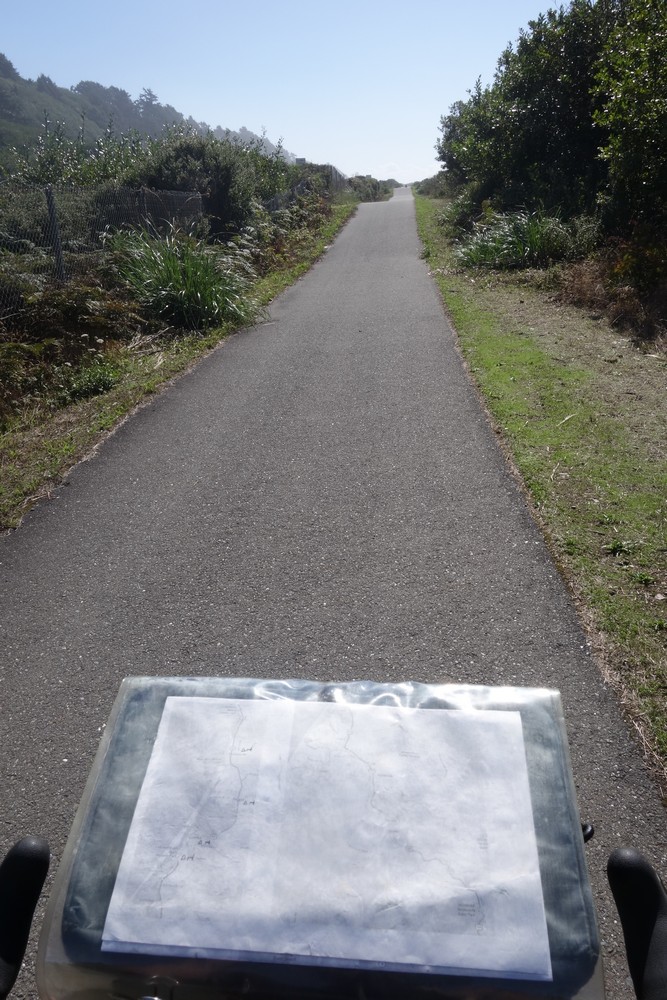
On the cycle path
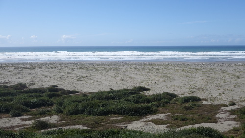
Entering Arcata
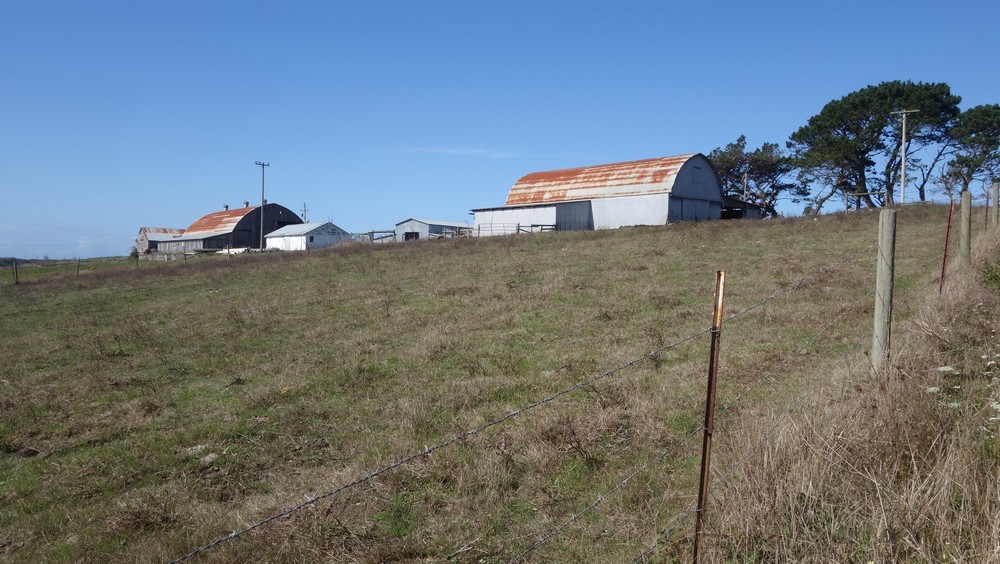
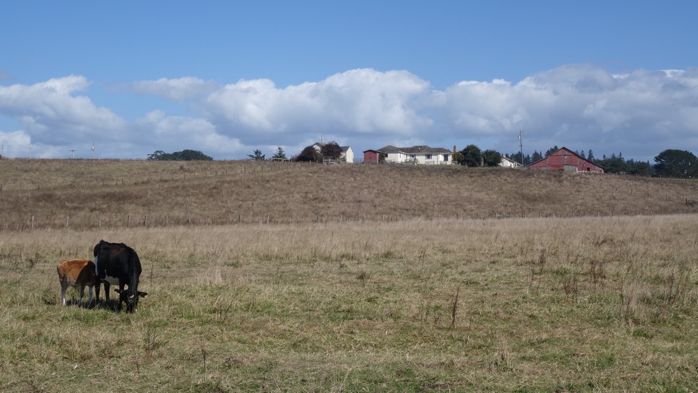
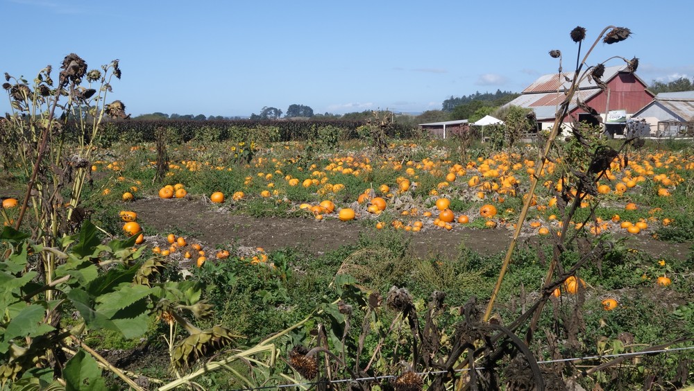
Halloween is coming!
We got into town and our first stop was in the bike shop. Most of us needed a few things for maintenance. I got a new chain to replace the old one, before it stretches too much and ruins the cassette. Arcata is a cool little town, very relaxed, full of hippies and everybody seemed very friendly. They are all about supporting the local markets and I noticed there are no chain restaurant or shops here at all. Next stop for all of us was a pub with 20 taps of local beer. We spend most of the evening eating and having a few drinks.
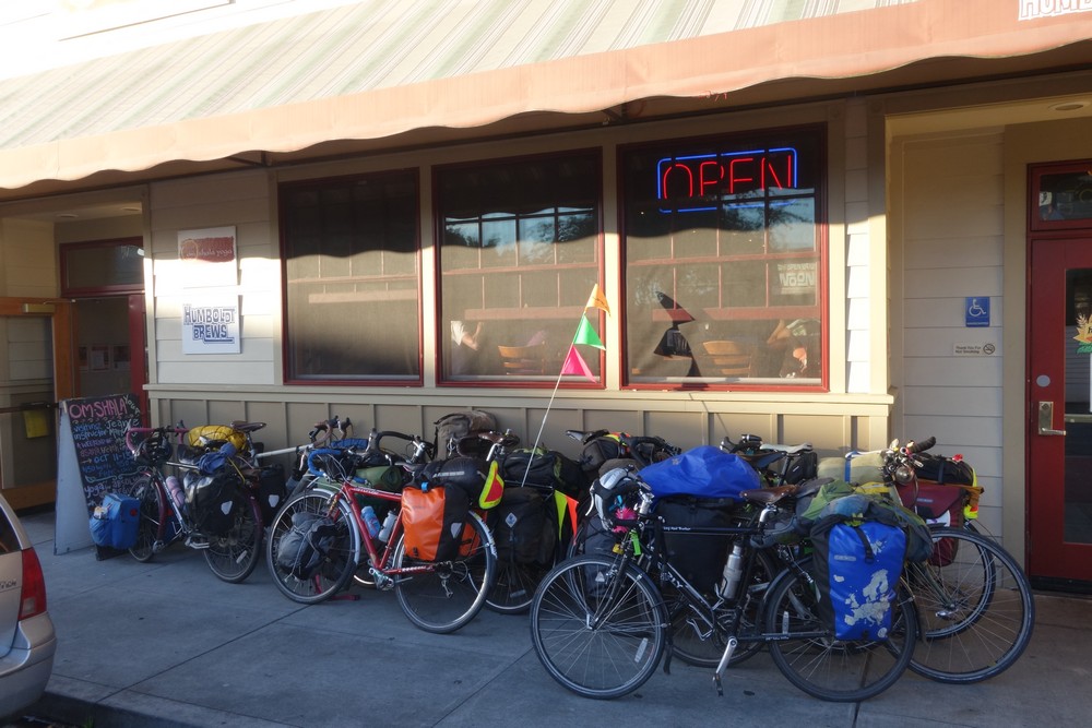
Look at this bike mass
In the pub, me Torri and Matt had a long conversation with a local who is also a cyclist and he gave us many tips for the route further down. In the end Tod invited over to his place for some more beer and bike talk. His garage was packed with bikes of all sorts and tools of any kind. I took the opportunity to change my chain. Actually everybody else was so eager to help out, so they ended up doing it for me!
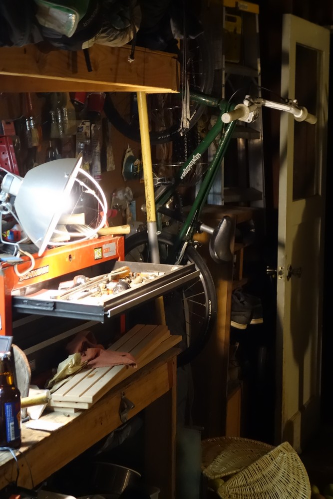
At Tod’s carage
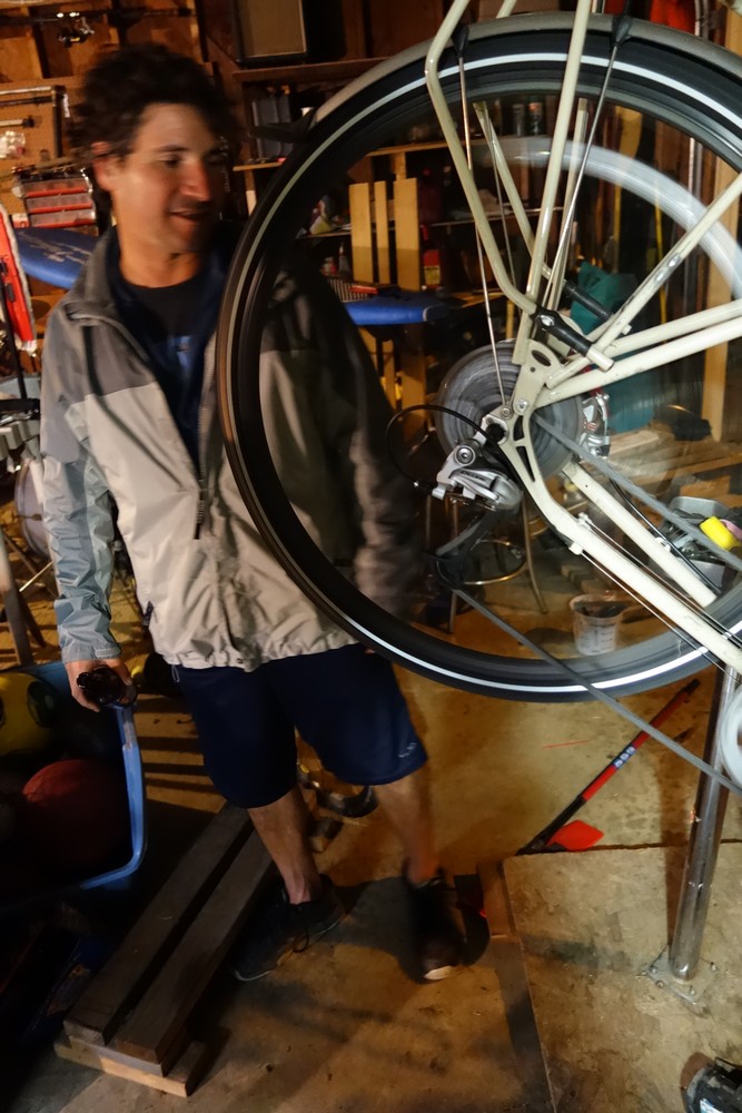
Tod
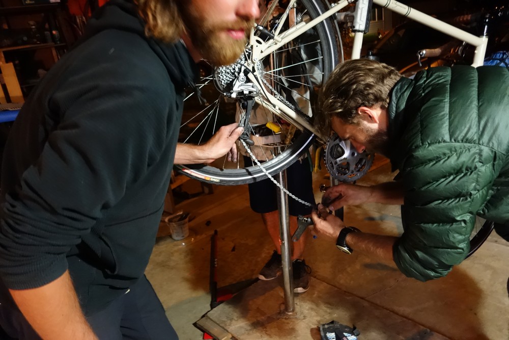
Torri and Matt on the case
At that point I hadn’t set my tent yet. Torri and Matt were heading to one of their friend’s place. I ended up catching up with Garry and Liz and we all set up our tents behind the bike shop. The guys at the shop had kindly let the back porch open for us to, so we camp and spend the night there for free.
nice blog and great trip – where did you find your maps ? (the maps we see in some photos)
cheers – thinking about undertaking something similar next year – thanks!
Hey Barry. Thanks for your comment.
For Washington I ripped off the pages I needed from a normal road atlas. In Oregon I used the very detailed and free map that the information office gives away. It is missing some information that other maps have, but it does the job very well. Between San Fransisco and Santa Barbara, I had a map from the Adventure Cycling Association. They have all the information you may need as a cyclist. I should have probable used these more.
http://www.adventurecycling.org/routes-and-maps/adventure-cycling-route-network/