73km – 2729 in total
I took advantage of the hostel’s free breakfast, eating multiple pancakes, oatmeal and fruits.I spent another half an hour, trying to fit all the food I bought for the next three days into my panniers. By 10am I was on the road and as suggested by a couple of people I took the long coastal road around Monterey, Pacific Groove and Carmel.
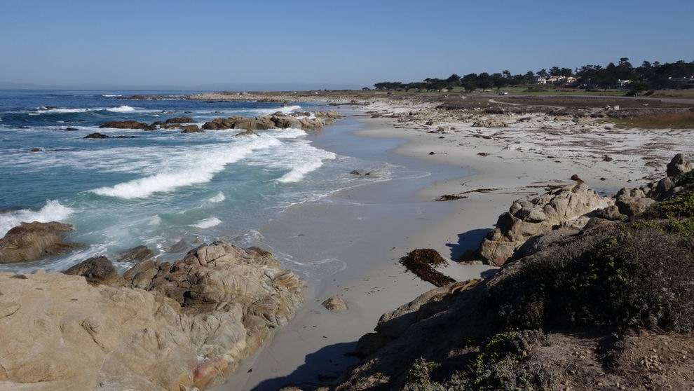
Monterey’s pier is a big tourist attraction. The hostel was located in a more casual neighborhood. Leaving in the morning, I started my day with an easy ride in a bike path next to the ocean. The beaches were full of wild life and there was a strong acidic smell in the air.
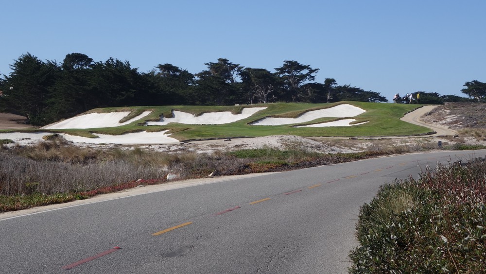
Pacific Groove can easily be renamed to Golf City, with more golf buggies on the road than cars, driving from private land in to private beaches.
Carmel is the high end resort of the area, with one villa after the other right next to the scenic coast. Its center is cute with several century old buildings, but a little too varied in style, so the whole town all together, lacked a distinct character. I bought an overpriced sandwich for later and started climbing toward highway 1.
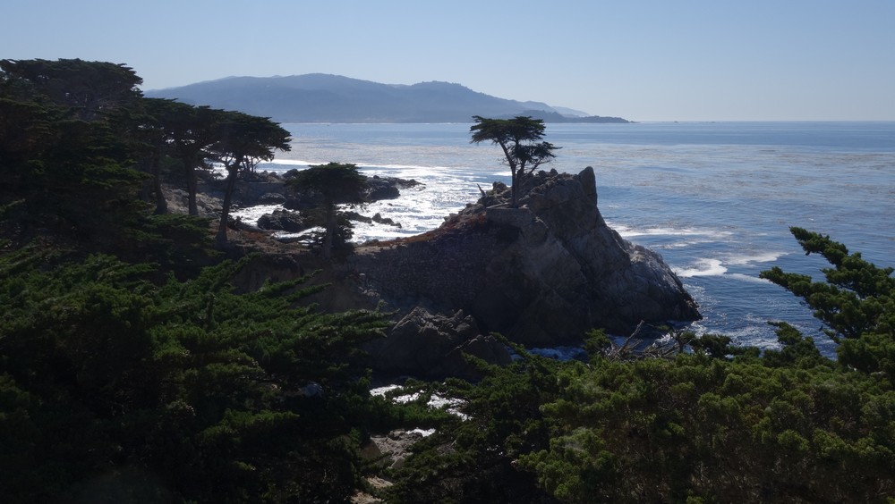
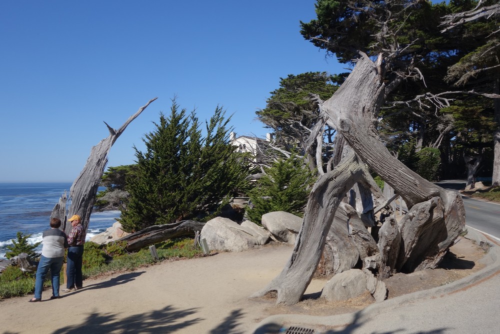
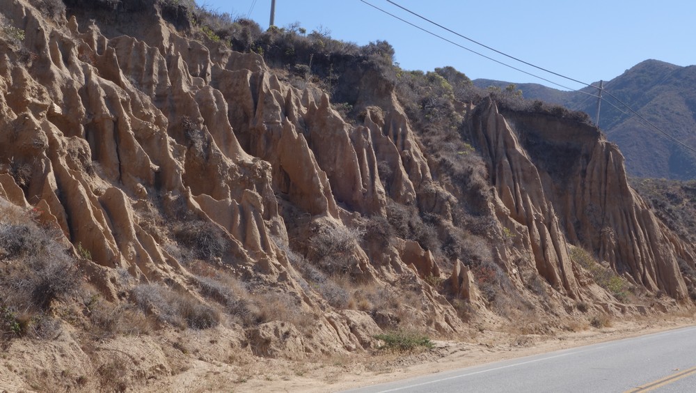
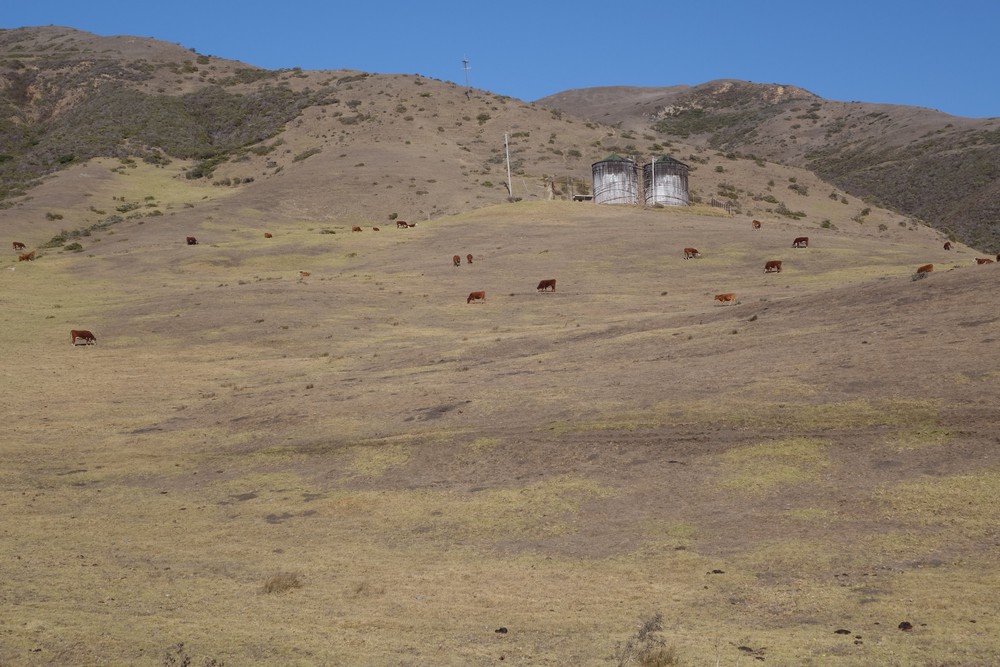
The temperature raised to 28c and the hills on the dry coast were getting steeper and steeper. Over the past week, everyone had been telling me about Big Sur, so my expectations were high. That kept my motivation high, so I found my tempo and slowly went through dozens of hills right by the rough coastline. On every other left turn, there was a view point to the ocean, where everyone including my self would stop to gaze and take a photo or ten
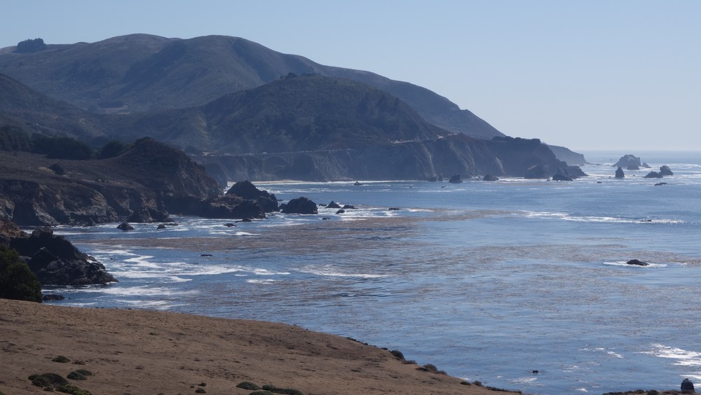
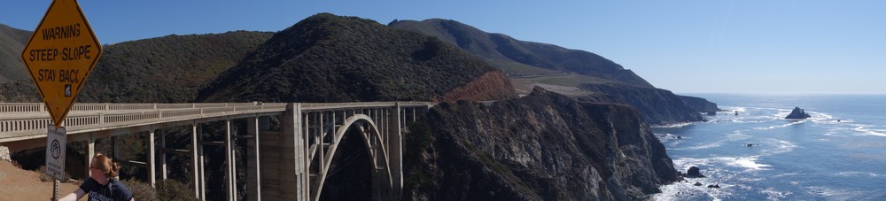
I even saw Mike the Biker in one of the stops, so we had another chat for a bit. Next stop was next to a long cement bridge, that apparently is usually featured in car adverts.
Just before the hunger kicked in, I picked the tallest hill along the coast and set it as my lunch spot. Half an hour later I got there, I unpacked my sandwich and a few other bits to eat. It had a nice view, but it wasn’t really a picnic area. It was really a stop over, so my spectacle was mostly all the cars pulling over for 2 minutes to take a photo and move on.


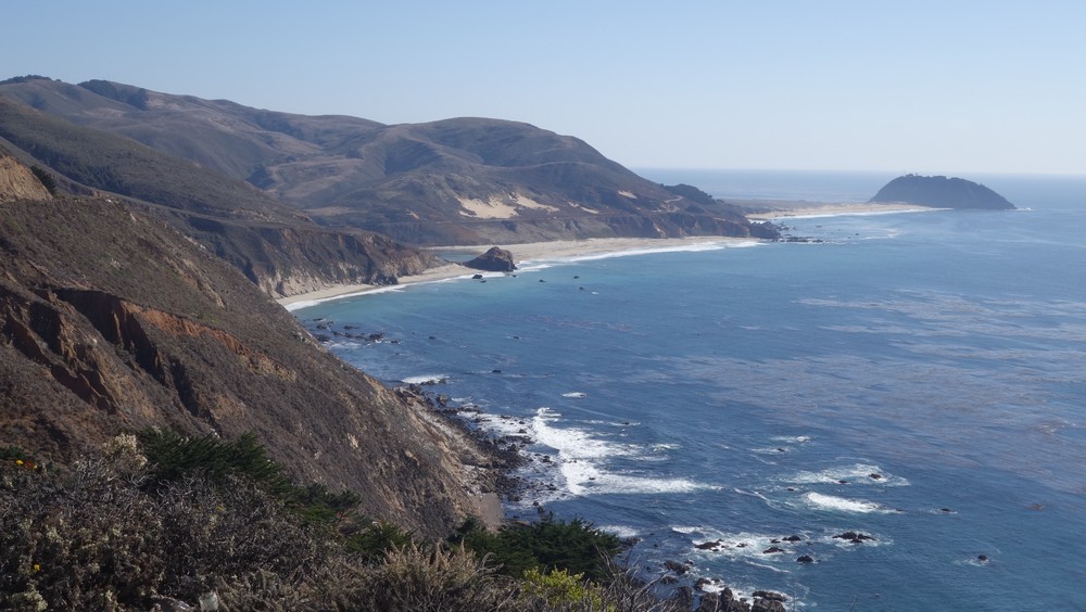
Point Sur


Lighthouse at Point Sur
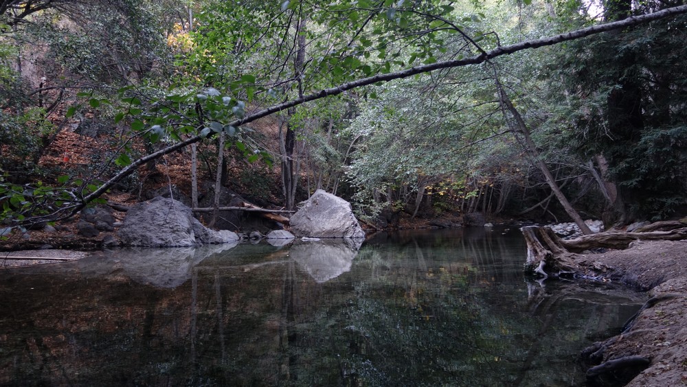
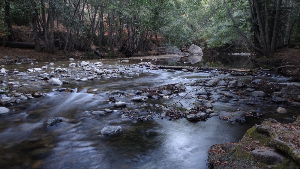
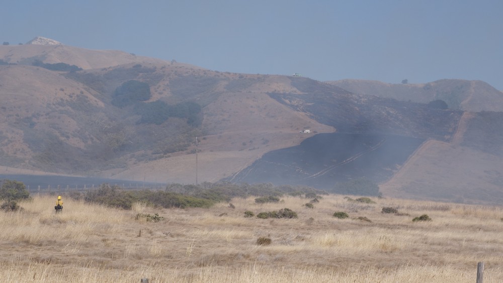
Right after that hill, I approached the area of Big Sur. It started off very dry without any vegetation. At some point firefighters were burning down the dry grass for miles in a farmland. The route moved inland and as I approached the Big Sur river within a small valley, I suddenly entered into a dense redwood forest.
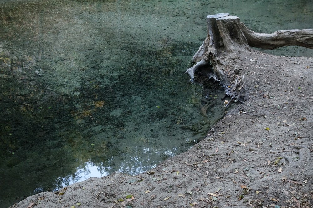
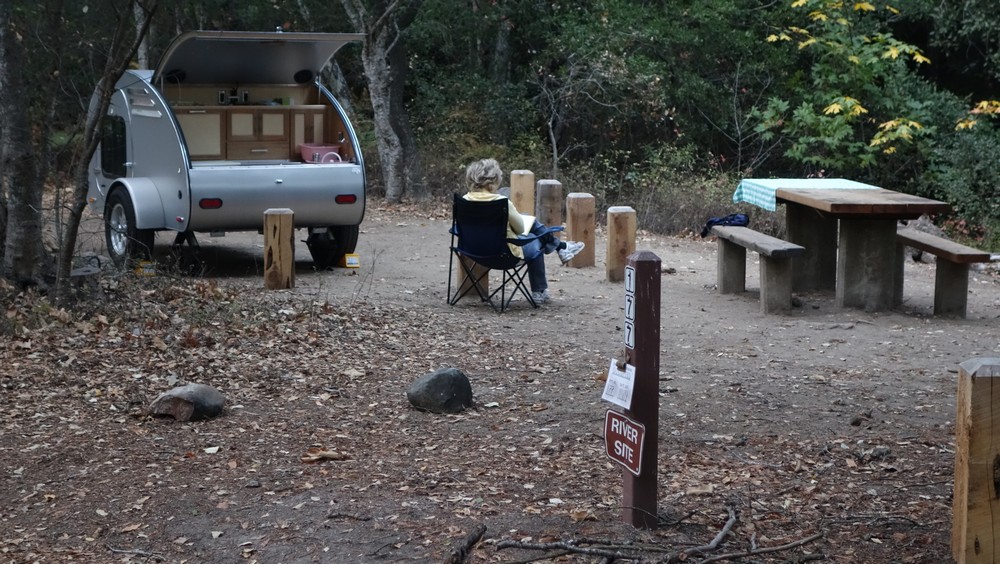
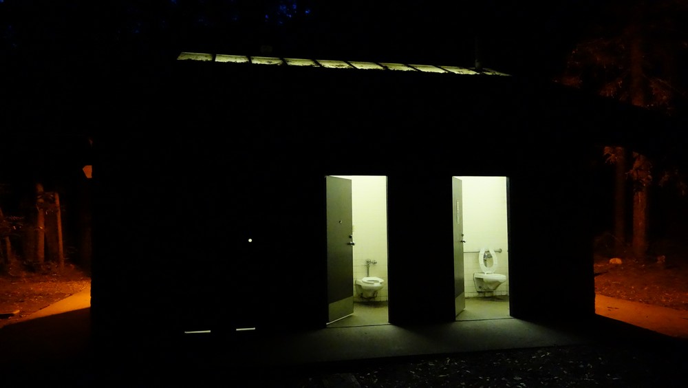
I was in the Pfeiffer Big Sur State Part heading to the campground. For some reason I had a different idea in my mind. I was expecting the campground to be on the bare hills looking at the ocean, but instead it was buried within the forest. At first sight I was a bit let down. It didn’t have the view I was expecting and the facility was a bit overbuilt, with a restaurant and a lodge at the entrance. Not exactly the remote destination I had in mind. After I set my tent though, I went around for a walk and I came across the beauty of the place. The river by the campsite and the nature around it create a magical place. At night, while having dinner at the picnic table, a whole family of deers came by to say hi. I will be taking tomorrow off to explore the area a bit further.